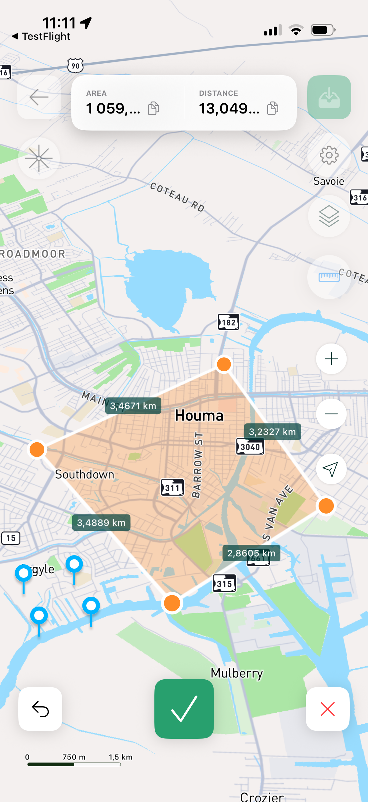
Measure Land Area and Distance with GPS
GeoMark lets you measure land area and distances directly on the map. Place points, calculate results instantly, and save projects.
- Area measurement
- Distance measurement
- Map layers
- Projects
Smart GPS Measurement Tools
Everything you need to measure fields, boundaries, routes, and plots.
Measure Area
Create polygons by placing points. Get area instantly.
Measure Distance
Measure routes, paths, and boundaries with multiple points.
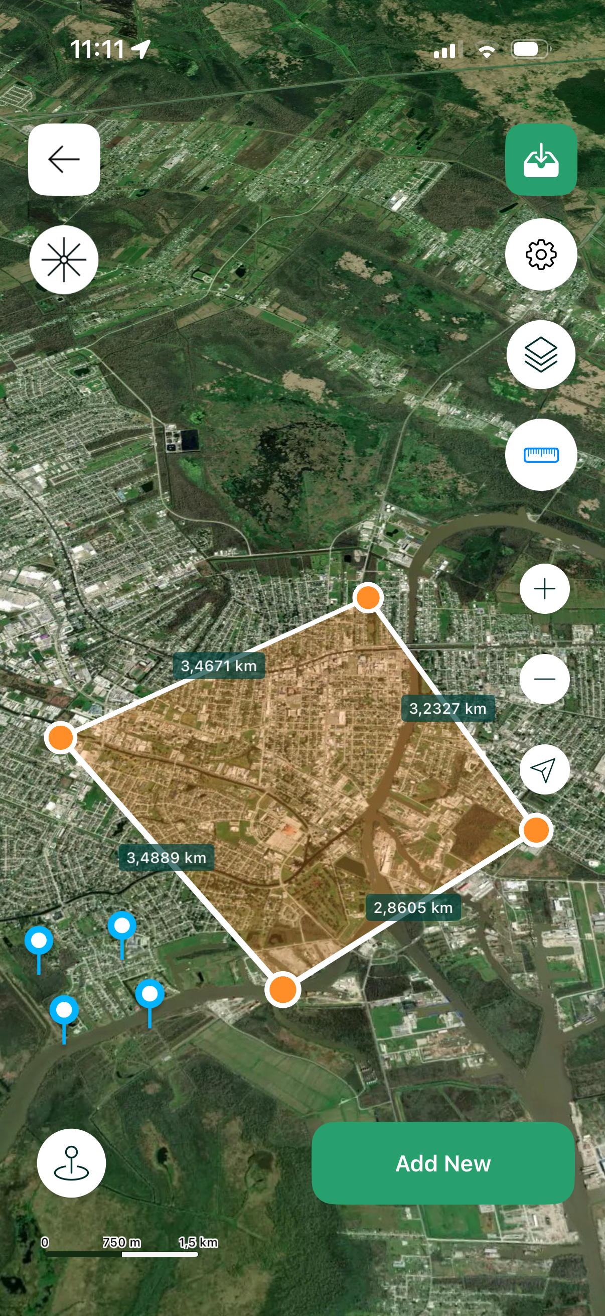
Map Layers
Switch between default, satellite, and terrain layers.
Projects
Save measurements and return to them anytime.
GPS Accuracy
Practical tools designed for reliable real-world measurement.
Simple Interface
Minimal UI — start measuring in seconds.
Use Cases
Farming & Fields
Measure field area for planning and tracking.
Land & Property
Estimate land size and boundaries on the map.
Garden Planning
Measure plots, yards, and small areas quickly.
Routes
Measure walking paths, perimeters, and distances.
GPS Land Measurement App
GeoMark helps you measure land area and distance directly on the map using GPS. Create polygons by placing points, calculate area in hectares/acres (or other units), measure paths and boundaries, and save results as projects.
Use GeoMark for farming and field measurement, land estimates, garden planning, property checks, route planning, and more.
Start Measuring Today
Download GeoMark on the App Store and measure land area and distance with GPS.